USGS Water Level Gauges
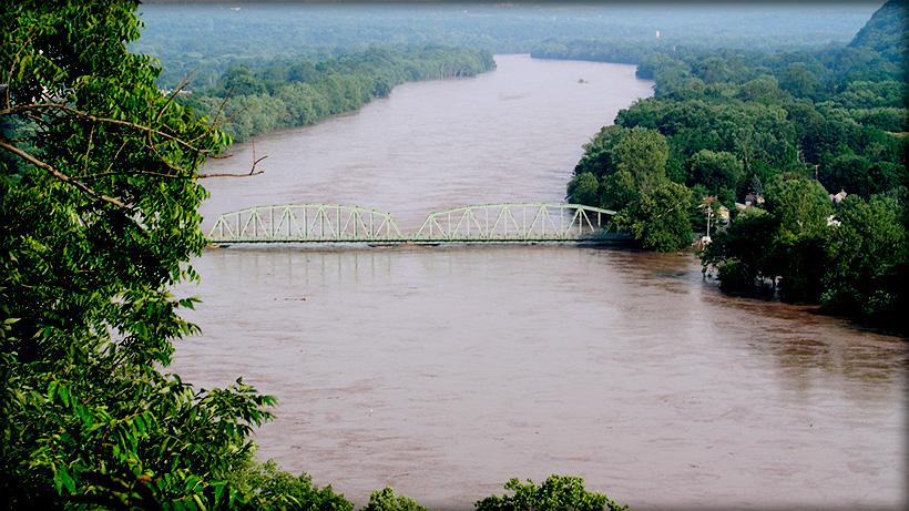
Like all rivers, the Delaware is a living thing, constantly changing. Water levels and flows are affected by local rainfall, reservoir releases, and contributions from tributaries large and small.
Awareness of current water levels and their consequences is essential to coexisting with the river, from knowing when conditions are safe for paddling or tubing, to understanding when there may be a chance of flooding.
The USGS provides many online tools to help the public understand and plan for changing water conditions on the Delaware River.
Click here for several water level gauges along the lenght of the Delaware River. Clicking on the blue numbers to the left of each station will provide stats for both the water depth level and the water flow, measured in cubic feet per second, (cfs). Each gauge will also show the official flood level for that station.
For a more comprehensive tool to view USGS streamflow information throughout the state of New Jersey, click here.